Wow!

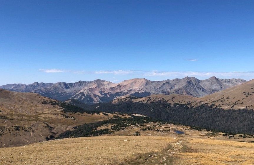
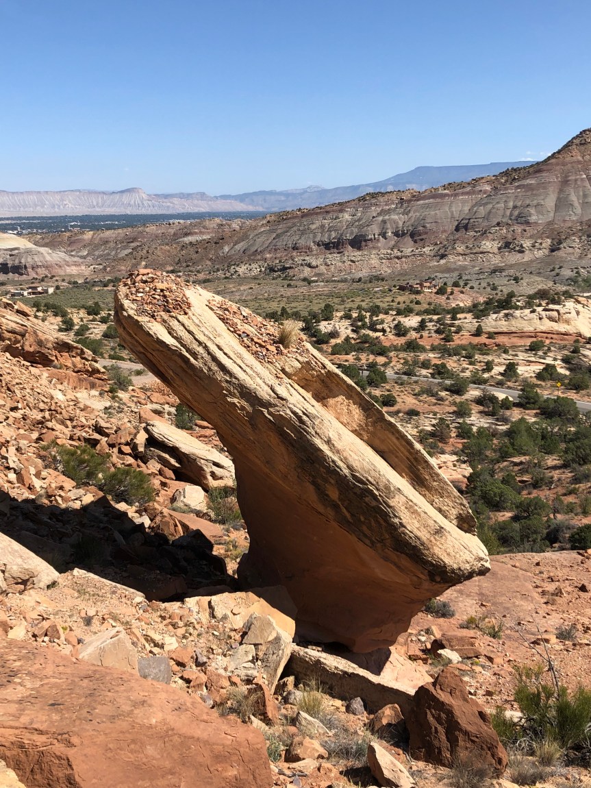
“Wow!”  That’s all we could say when we rounded the bend after entering the Colorado National Monument.  We pulled over and I got out of the car to take some pictures, and as I was kneeling down I literally lost my balance because I was so disoriented from the gigantic scale of the walls surrounding us.

IMG_5791
The picture after I regained my balance. You can see the road on the bottom right corner of the photo.  There was a wall equally large on the opposite side.

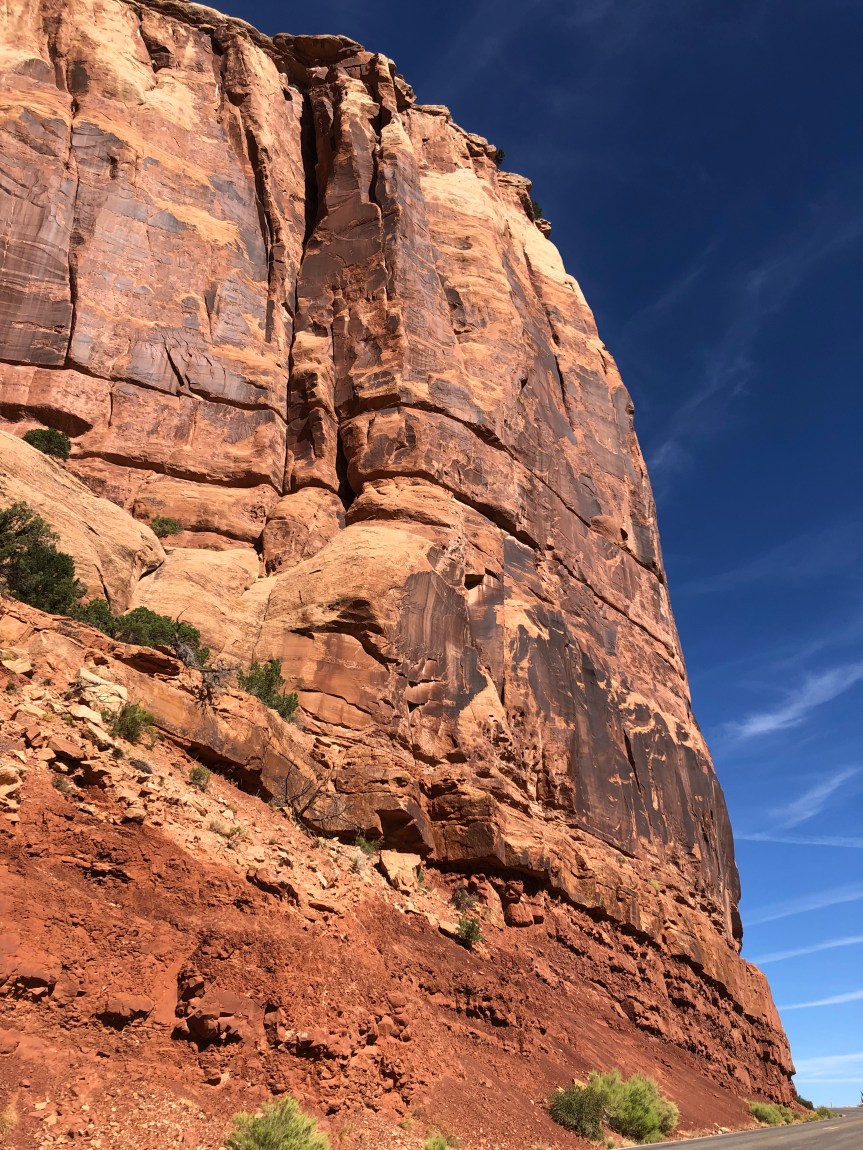
We hadn’t really known what to expect as we were driving there.  We knew it wasn’t a National Park but had read plenty of good things about it, which is how it made the list.  Well, I’m not sure how the decision is made as to whether something should be a National Park vs. a National Monument, but all I can say is if you’re on a National Parks trip, don’t pass up Colorado National Monument just because it isn’t technically a National Park.

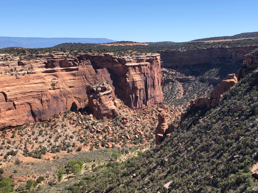
As we arrived at our campsite, the volunteer ranger drove up in his golf cart to say hello.  He asked us how long we were staying and when he heard it would be just under a week, he offered to show us to a different site which was first-come, first-serve.  According to the ranger, it was the best campsite in the park and as soon as we saw it we could see why.  It. Was. Amazing.  Extremely private with incredible views, it felt like you had the whole park to yourself.  As an added bonus, this particular loop in the campground prohibited generators, so it was incredibly peaceful.  It was a no-brainer.  We thanked him profusely for showing us the space, he wrote our name on the reserved card, and it was ours.

IMG_5803
The view just steps from our campsite.
IMG_5802 2
The campsite itself was huge.

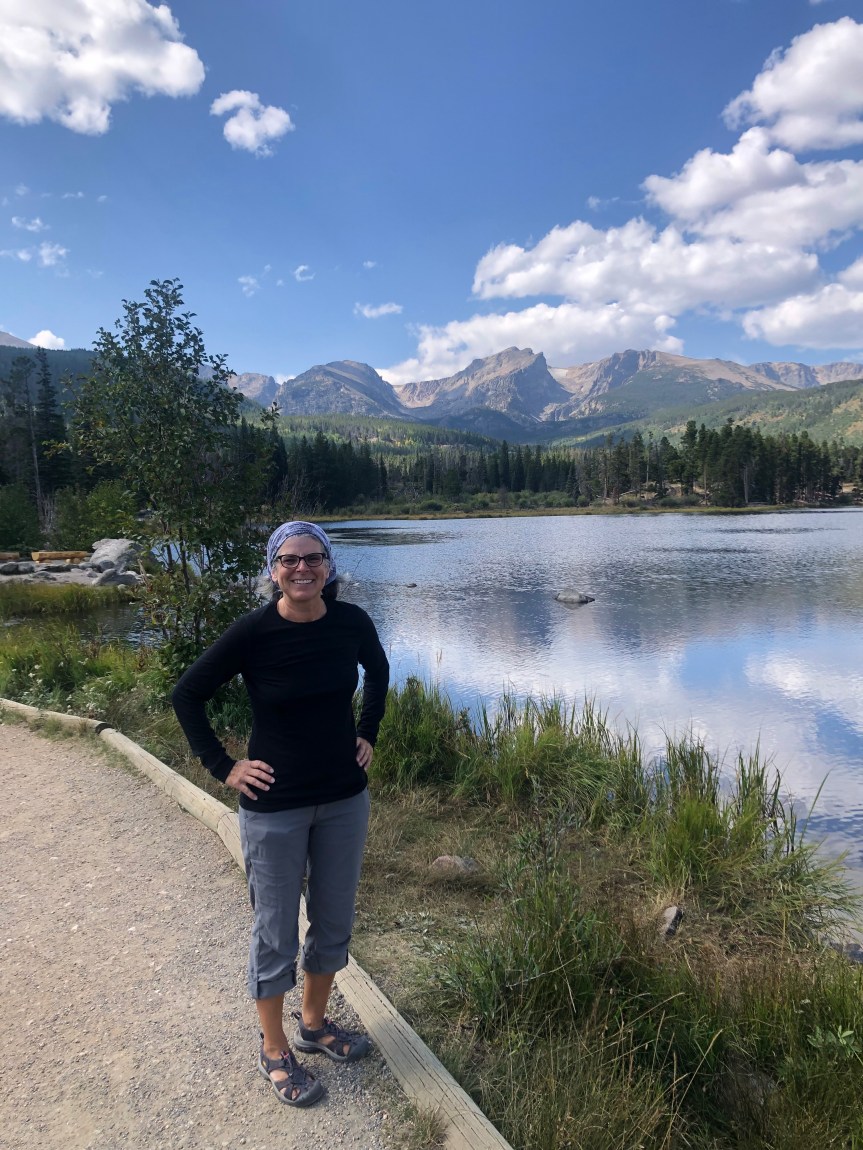
What followed was several days of amazing hiking, a great scenic drive, excellent Mexican food in Fruita (the town closest to the campground), and star-filled nights.

IMG_5845

IMG_5836

IMG_5880

IMG_5863

IMG_5882

IMG_5862

Unfortunately, however, we weren’t able to stay for the entire six nights.  After two consecutive days of six-mile hikes, Jeff woke up pre-dawn with afib – the first time this had happened since his ablation in March, 2018.  We called his electrocardiologist’s office and the on-call doctor called us back and suggested we head down to a lower elevation (at this point we were about 7,000 feet up).  Fortunately, by the time the doctor called us back the episode had already passed, but it scared the crap out of both of us.  Frankly, I think we both have some PTSD from that awful Christmas Eve in 2017.

We briefly considered driving back to the security blanket of Connecticut where, should it happen again, we would be close to the  doctors that we know and trust.  But after taking a deep breath, we decided against it.  We were already two-thirds of the way across the country, and there are cardiologists everywhere.  It seems like a little thing, but deciding to continue west was actually a pretty big step for me  – truly cutting the cord when we had the option of scurrying back.

Anyway, clearly it was time to throw the itinerary out the window – camping at sea level was now the new plan.  My sister and her husband live in Henderson, NV which was halfway between where we were and the California coast.  We were welcome to stay there while we regrouped, so after breaking down the camp it was time to hit the road.

Black Canyon of the Gunnison NP

Although we were disappointed not to be spending more time in Rocky Mountain National Park, we were not going to miss the cold overnight temperatures in the forecast!  Several thousand feet lower in elevation, Montrose was forecast to drop “only” into the low 40’s.    

Since we hadn’t been able to secure a camping reservation at the Black Canyon NP, we booked a stay at the KOA in Montrose.  It had electric hookups and we had brought an extension cord and our little space heater with us, so we were nice and cozy during our three night stay.  But honestly, that — and the clean bathrooms — are about the only thing it had going for it.  We wouldn’t stay there again.  The bathrooms were clean and the campground itself was tidy, but the tent campsites were on the edge of a dusty parking lot and the whole thing just felt sketchy.  I even suggested to Jeff in the middle of the first night that we just leave in the morning.  But as sometimes happens, things felt better when the sun came up.  While we still didn’t care for the campground, we decided to stick around so we could go to the National Park – and we’re glad we did. Continue reading “Black Canyon of the Gunnison NP”

From the prairies to the mountains.

One of the things I distinctly remember when I drove East across the U.S. for the first time (back in 1989) was how surprised I was to discover that eastern Colorado is extremely flat once you leave the Rockies.  Basically you go from these gorgeous mountains to what are essentially prairies, foreshadowing tedious scenery through Nebraska.  So this time I was looking forward to the reward of the Rockies after making it through Nebraska.  We weren’t disappointed.

Fellow Bristol 29.9 owner Phil, who has lived for several years in Estes Park, had suggested that we try to stay on the east side of Rocky Mountain National Park (RMNP).  We weren’t able to snag a campground reservation until the last minute, and oh!  We were so glad that we did.

The east side of RMNP was drop-dead gorgeous.  Absolutely stunning.  I had fantasies about moving to Estes Park and working in an outdoor shop until I saw how long their winter season lasts (and the average temperature.)  Instead, we soaked in everything that we could until we visit again some day.

IMG_5507
The view from our campsite.

IMG_5554

IMG_5590
Hammock time!

At 7,500 feet of elevation and with only a two night reservation, we weren’t going to be there long enough to adapt to the heights and do some real hiking.  Instead, we enjoyed scenic drives and had a lovely walk around Sprague Lake.

IMG_5578

IMG_5576

IMG_5604
You can see where the wildfire stopped.

We were also able to spend a great evening with 29.9 owner Phil and his partner Margery, talking boats and future cruising plans.  Hopefully we can share an anchorage with them in the future.

Phil and Margery told us it was rut season for the elk and warned us that the males would be calling for mates in the middle of the night. We were very glad for the warning when we were woken up at 2:00 a.m. to that otherworldly noise!

IMG_5532
This guy wandered through the campsite next to us after breakfast.
IMG_5585
And this one was at the end of our loop around Sprague Lake.
IMG_5566
And this guy was the biggest of the three. Look at those horns!

After a much-too-short stay, it was time to move along and continue west.  Although we were disappointed to be leaving, we were excited to be heading out via Trail Ridge Road.  Trail Ridge Road is the highest continuous paved highway in the United States at a maximum elevation of 12,183 feet, and eleven miles are above the treeline.  We made a ton of stops along the way for pictures.  It seemed with every curve of the road there was new jaw-dropping scenery that demanded a picture.  The hard part was narrowing it down to just a handful of photos for this post:

IMG_5680

IMG_5626

IMG_5606

IMG_5624

IMG_5643

IMG_5665
Above the treeline.

Our original plan after taking Trail Ridge Road was to camp on the outskirts of the west side of RMNP to explore that area.  A quick check of the forecast showed that we were going to get nighttime temperatures in the mid-20’s which was a definite no for us, so we shuffled our itinerary around and headed off to Montrose, Colorado so we could explore the Black Canyon of the Gunnison National Park.

To be continued.