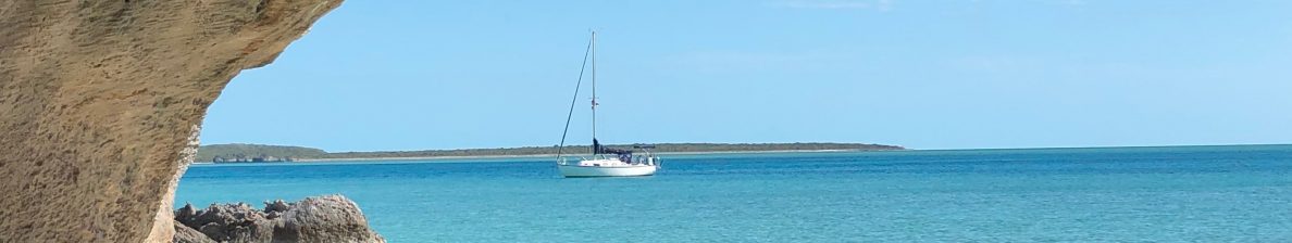
One of the things I distinctly remember when I drove East across the U.S. for the first time (back in 1989) was how surprised I was to discover that eastern Colorado is extremely flat once you leave the Rockies. Basically you go from these gorgeous mountains to what are essentially prairies, foreshadowing tedious scenery through Nebraska. So this time I was looking forward to the reward of the Rockies after making it through Nebraska. We weren’t disappointed.
Fellow Bristol 29.9 owner Phil, who has lived for several years in Estes Park, had suggested that we try to stay on the east side of Rocky Mountain National Park (RMNP). We weren’t able to snag a campground reservation until the last minute, and oh! We were so glad that we did.
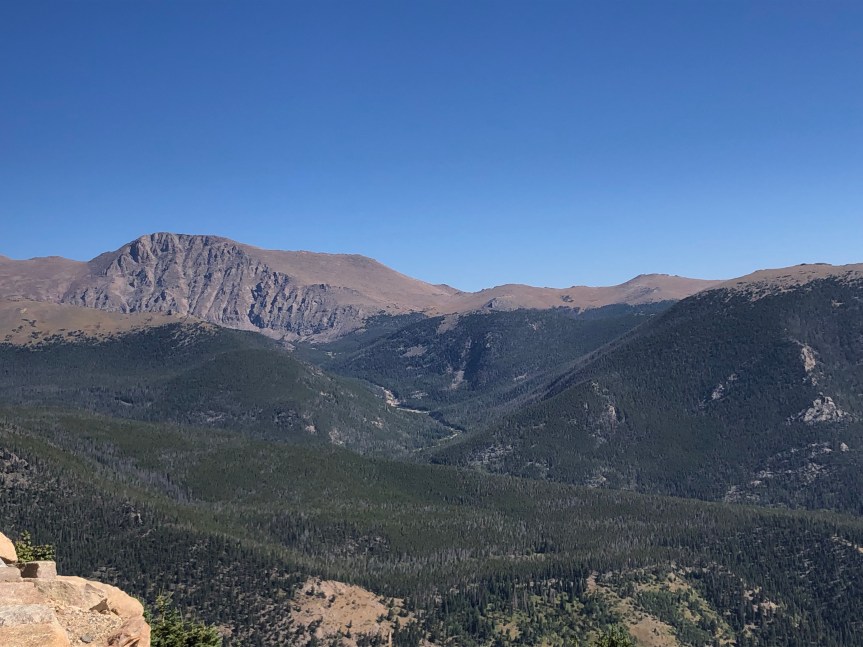
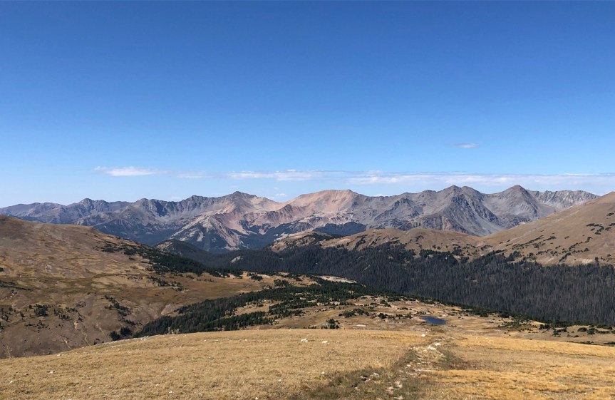
The east side of RMNP was drop-dead gorgeous. Absolutely stunning. I had fantasies about moving to Estes Park and working in an outdoor shop until I saw how long their winter season lasts (and the average temperature.) Instead, we soaked in everything that we could until we visit again some day.


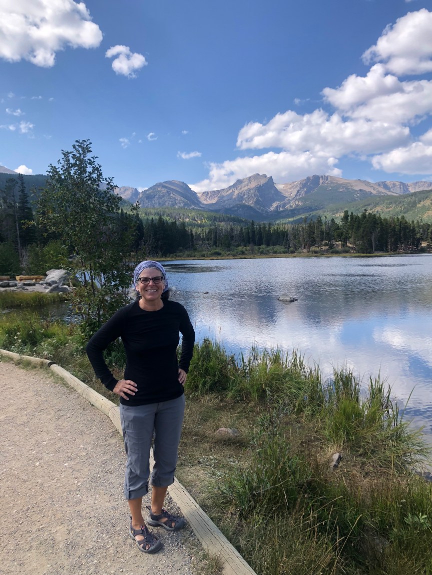
At 7,500 feet of elevation and with only a two night reservation, we weren’t going to be there long enough to adapt to the heights and do some real hiking. Instead, we enjoyed scenic drives and had a lovely walk around Sprague Lake.

We were also able to spend a great evening with 29.9 owner Phil and his partner Margery, talking boats and future cruising plans. Hopefully we can share an anchorage with them in the future.
Phil and Margery told us it was rut season for the elk and warned us that the males would be calling for mates in the middle of the night. We were very glad for the warning when we were woken up at 2:00 a.m. to that otherworldly noise!


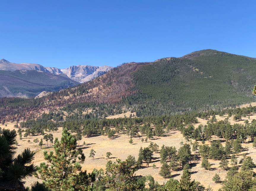
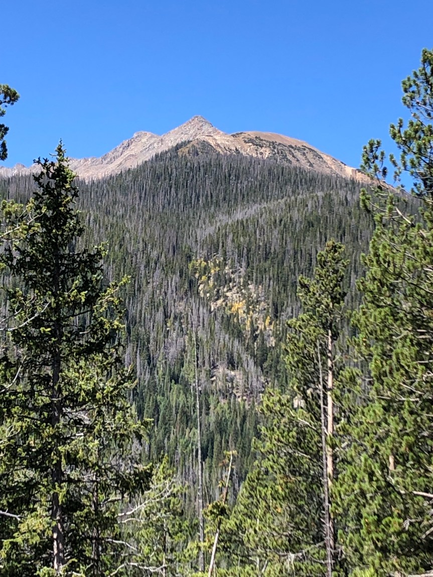
After a much-too-short stay, it was time to move along and continue west. Although we were disappointed to be leaving, we were excited to be heading out via Trail Ridge Road. Trail Ridge Road is the highest continuous paved highway in the United States at a maximum elevation of 12,183 feet, and eleven miles are above the treeline. We made a ton of stops along the way for pictures. It seemed with every curve of the road there was new jaw-dropping scenery that demanded a picture. The hard part was narrowing it down to just a handful of photos for this post:


Our original plan after taking Trail Ridge Road was to camp on the outskirts of the west side of RMNP to explore that area. A quick check of the forecast showed that we were going to get nighttime temperatures in the mid-20’s which was a definite no for us, so we shuffled our itinerary around and headed off to Montrose, Colorado so we could explore the Black Canyon of the Gunnison National Park.
To be continued.

Omg Those elk horns
LikeLiked by 1 person
They were amazing! Kimberly
LikeLike
Your photos are professional. I love to hear your stories. Love, N
On Mon, Oct 18, 2021 at 3:38 PM Adventures on the Club – on shore leave! wrote:
> Kimberly posted: “One of the things I distinctly remember when I drove > East across the U.S. for the first time (back in 1989) was how surprised I > was to discover that eastern Colorado is extremely flat once you leave the > Rockies. Basically you go from these gorgeous mount” >
LikeLiked by 1 person
Thanks, Nikki! See you in a few days! Love, Kimberly
LikeLike